Santa Rosa is poised to overhaul the boundaries of its wildfire risk zone for the first time since 2009 — before four major fires reshaped the region — as the city council takes up a new map Tuesday that would bring thousands more homes under defensible-space rules.
Key takeaways
- The proposed update would add 3,082 parcels to Santa Rosa’s Wildland-Urban Interface (WUI) fire area and remove 811 that no longer qualify.
- Homeowners in newly designated parcels must maintain defensible space and keep dry grass trimmed to four inches during fire season.
- The current WUI map was drawn in 2009 — before the Tubbs, Nuns, Glass, and Kincade fires.
- Updated 2025 CAL FIRE hazard maps show additional Santa Rosa neighborhoods now classified as high or very high fire-hazard zones.
- The ordinance goes before the city council for a first reading April 21; a second reading is required before full adoption.
Why the 2009 map is no longer enough
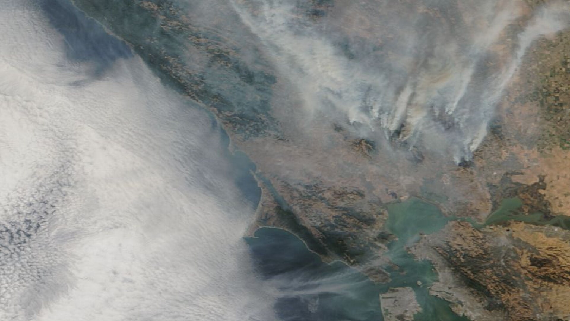
Santa Rosa’s existing Wildland-Urban Interface boundaries were set in 2009, years before the 2017 Tubbs Fire destroyed more than 5,000 structures in the city and the subsequent Nuns, Glass, and Kincade fires further reordered what residents and officials understand as high-risk terrain. Last year, CAL FIRE released updated statewide fire-hazard severity maps that reclassified additional neighborhoods inside Santa Rosa city limits as high or very high risk — creating a mismatch between state-recognized hazard zones and the city’s local enforcement boundaries.
Interim Fire Chief Scott Westrope said bringing local regulations in line with current conditions is a critical piece of community protection. “Any link in the chain that we can break is going to be effective,” Westrope told KRCB, noting that reducing vegetation fuel near homes gives firefighters a fighting chance — or allows a fire to exhaust itself before reaching structures. The proposed ordinance gives the fire department authority to enforce defensible-space requirements on the newly added parcels, including the requirement to keep dry grass cut to four inches during peak fire season.
What comes next for homeowners
The ordinance received its first reading before the Santa Rosa City Council on Tuesday, April 21. Under city procedure, a second reading is required before the measure takes full effect. Homeowners added to the WUI zone will be subject to Santa Rosa’s vegetation-management rules and annual defensible-space inspections — consistent with requirements already in place for parcels that have been in the zone since 2009.
The timing follows a relatively wet spring that temporarily eased fire-season anxiety across the county. Recent rainfall brought some fire-season relief to Sonoma County, but fire officials have consistently warned that a wet winter followed by dry summer conditions can produce heavy fuel loads. Separately, Santa Rosa has faced other infrastructure and safety pressures this year; last month, the city grappled with proposed state budget cuts threatening emergency mental-health response teams that work alongside firefighters and police.
Frequently asked questions
Will my property be added to the wildfire risk zone?
The proposed update adds 3,082 parcels and removes 811 from Santa Rosa’s WUI fire area. The changes are based on 2025 CAL FIRE hazard maps. The city is expected to publish the full parcel list as part of the ordinance materials; residents can also check their address against CAL FIRE’s online hazard severity zone viewer.
What do I have to do if my home is in the expanded zone?
Homeowners in the WUI zone must maintain defensible space around their structures and follow Santa Rosa’s vegetation-management rules, which include keeping dry grass trimmed to four inches during fire season. The fire department conducts periodic inspections and can issue notices of violation for non-compliance.
When does the new map take effect?
The ordinance went before the city council for a first reading on April 21, 2026. A second reading is required before it becomes law. According to KRCB, the measure is expected to move quickly given that the underlying CAL FIRE hazard maps were finalized in 2025.
Leave a Reply