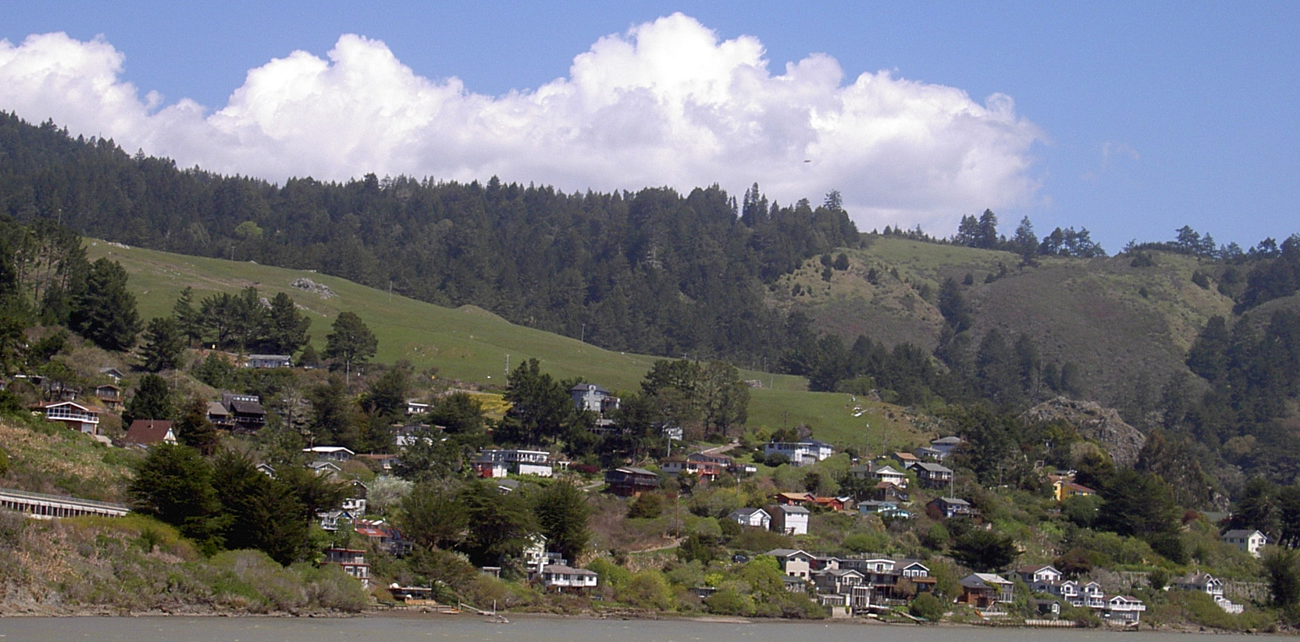
A storm system moving off the California coast is set to drench Sonoma County with roughly an inch of rain starting Monday morning — timely relief after a dry March that left vegetation parched and fire danger elevated heading into spring.
Key Takeaways
- Rain begins in the North Bay on Monday mid-morning, with the heaviest precipitation expected Monday evening through Tuesday morning.
- Most of Sonoma County can expect about 1 inch of rain by end of day Tuesday; higher terrain may see somewhat more.
- Thunderstorms are possible Tuesday as a cold front moves through the region.
- A National Weather Service meteorologist said April’s storms have put the region “well below normal” fire-weather territory, setting it up for “a more normal fire season.”
- The system follows an April 10–12 storm that dropped nearly a month’s worth of precipitation across much of the area.
When the rain arrives — and how much to expect
Rain is expected to reach the North Bay first, around mid-morning Monday, before spreading southward across the greater Bay Area by midday, according to the National Weather Service. The heaviest downpours are forecast for Monday evening through Tuesday morning, with scattered showers lingering into Tuesday afternoon.
A cold front moving through the region could trigger isolated thunderstorms on Tuesday. Most of Sonoma County should receive about 1 inch of rain by Tuesday’s end, the Press Democrat reported. Higher elevations in the county’s interior ranges — including the Mayacamas Mountains along the eastern border with Napa County — could see somewhat more.
Drivers should plan for wet roads Monday and Tuesday. The National Weather Service also noted that chain controls and slick conditions will affect Sierra Nevada passes Tuesday and Wednesday for those with mountain travel plans.
What the storms mean for fire season
For Sonoma County residents, the fire weather implications carry particular weight. March 2026 brought record-breaking heat that accelerated snowmelt in the Sierra Nevada and dried out grasses and brush across the North Bay well ahead of schedule, raising concerns among fire officials heading into spring.
April has reversed that trend sharply. The storms that swept through April 10–12 dropped nearly a month’s worth of precipitation across much of the region, and this week’s system is expected to extend the wet streak. A National Weather Service meteorologist told the Press Democrat the combination has been “super beneficial in the short term, in terms of fire weather conditions.”
“Not only are we out of record territory, we’re well below normal now,” the meteorologist said. “It kind of sets us up for a more normal fire season.”
That forecast carries weight in a county that has endured some of California’s most destructive fires in recent memory. Residents, emergency managers, and insurers alike closely watch early-season moisture conditions as an indicator of how demanding the months ahead may be.
As of Sunday evening, no flood watches or advisories had been issued for Sonoma County. Forecasters said the rain is expected to fall gradually enough that runoff and localized ponding should remain limited.
Frequently Asked Questions
When exactly will the rain start in Sonoma County?
Rain is forecast to arrive in the North Bay — which includes Sonoma County — around mid-morning on Monday, April 20, according to the National Weather Service. It will be the heaviest Monday evening through Tuesday morning, then taper to scattered showers by Tuesday afternoon.
How much rain should I expect at my home?
Most of Sonoma County is forecast to receive approximately 1 inch of rain by the end of Tuesday. Locations at higher elevations, such as the hills east of Santa Rosa or the ridgelines near Cazadero, may receive more. Areas on the valley floors may land closer to the lower end of that range.
Does this rain actually help reduce wildfire risk this year?
Yes, meaningfully. A National Weather Service meteorologist said April’s back-to-back storms have pushed the region “well below normal” fire-weather conditions after a dry, record-warm March. While a single wet April doesn’t guarantee a mild fire season, the additional soil moisture significantly slows the drying and curing of grasses and brush that fuel early-season fires.
Leave a Reply